Today is the first day that I am backtracking. I came into Kranji from the Northwest and by doing so, I missed an important landmark. So instead of heading east, I head west for half a mile or so, and come to this arched entrance:
This is the Kranji War Cemetery. Its the resting place for Allied soldier who died during the 7 day Battle of Singapore and the subsequent and brutal Japanese Occupation which lasted from 1942-1945. Through the arch and up the hill is the memorial surrounded by the graves and engraved names of all who fought to defend Singapore.
 |
| Graves surrounding the main memorial in the background. |
It's down the hill now and off to the next stop, but before I do, I stop by a couple of graves in a big field off to the left. The closest grave is that of Benjamin Henry Sheares, Singapore's second president. The furthest grave is surrounded tightly on all sides by well manicured bushes.
This is the grave of Yusof Bin Ishak. He was the first head of state of Singapore post British Occupation and then the first president of Singapore when it became a country in 1965. It is his face that you see on all Singapore paper currency.
Okay, I spent a little too much time here, but it was worth it. Its getting late, so I head back down the hill and turn right onto Woodlands Avenue 3, back towards the MRT station, and then keep going.
Woodlands is a suburban community, constructed to be self sufficient like many of the other communities in the country. I will see many on the next couple of walks. So, instead of heading towards town center, I turn left at the park connector, along Woodlands Center Road, and head towards the coast.
The walk starts out interesting as I hit this underpass.
 |
| Underpass at Woodlands Center Road. |
 |
| The now empty Woodlands Cinema in Woodlands Town Center |
Just above Old Woodlands Town is the Woodlands Causeway, the main connector between Malaysia and Singapore. The checkpoint is a bit formidable from the outside but smooth and efficient on the inside. I've used it many times.
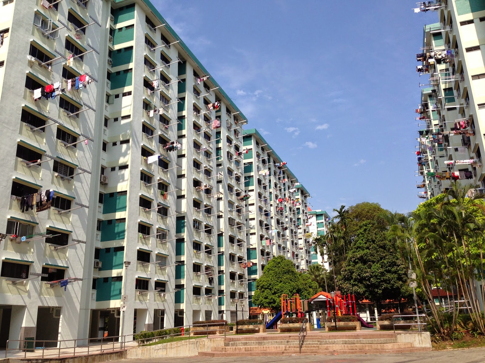
Its a busy day today and there's a huge backup coming into Singapore. I want a better view and the easiest way if through an HDB before heading north. On the way, I take this picture:
 |
| Laundry drying |
Through the HDB, I connect to Admiralty Road West and take a water break at Woodlands Waterfront. There's a view of the Causeway, the connecting bridge between Singapore and Johor Bahru, Malaysia.
Heading East along the park, I take time to hit this pier. It afforded a great view of the Straits of Johor.
The sun is out today and its freaky hot, so I'm a little embarrassed when I pull out my umbrella.
I'm heading towards the end of my walk, so I start back south through Admiralty Park. GPSs are great, but they don't tell you everything. Like in this case, where I'm walking on the scenic trail which dead ends at this prison fence.
I wrap back around and head south through Admiralty Park. Two minutes later and I'm in a mangrove.
 |
| The feeder into Sungei Cine at Admiralty Park |
I appreciate the angry monkey driving the point home. I saw no monkeys in the park, but I kept my shiny objects in my pockets just in case.
In typical Singapore fashion, the bridge in the mangrove was under renovation, so I had a pretty big walk around to get back on track.
With it getting late and the temperature getting hotter, I decide to abandon my final destination in Admiralty and instead stop at the Woodlands town center. Here you can find the MRT as well as CausewayPoint, one of the largest shopping malls in Singapore. I could not get a good picture of it, but I liked this one leading up to it:
 |
| I'm curious what happened here. |
On a side note: this detour was fortuitous because as I walk into the mall, I realize that I have been here many time before. In 2000, during my first tour in Singapore, my colleagues and I would frequently taxi 20 minutes from Ang Mo Kio to here, just to have a burrito at the only Taco Bell north of CBD.
As the trip ends, I get some water, cool down, and head home via MRT.
Total route: 9.65 miles. 3 hours, 05 minutes.


